(3) "Local Knowledge on Land Use and Management in Central Regions of Laos: A Case Study in Ban Kadan of Savannakhet Province"
Land is one of the most important natural resources in Laos, and is at the center of all economic activities. Local knowledge is useful not simply in terms of technology; it represents a treasure of cultural resources and has significant importance for the work of scientists and policymakers in contributing to sustainable agriculture and rural development planning strategies in the central and other regions of Laos. However, researchers are just beginning to explore it.
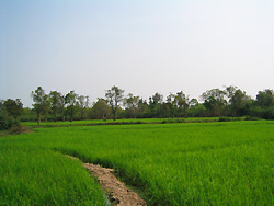
Ban Kadan is one of the oldest of 170 villages in Champhone district, Savannakhet Province. It was established in 1200. For many generations, the villagers have relied on the natural resources of their land and natural conditions for their living.
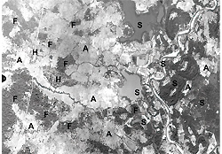
The Kadan villagers believe that the lands are held by specific land spirits(chaothin chaothan)that have mysterious forces. Today, many people still believe in and practice ritual phithikam in many ways in terms of land management. Land use and classification is determined mainly by land elevation, depth-of-flooding level of the land being utilized and natural phenomenon occurring over several generations in the village. The village has a total land area of 1,365 ha. This land has been divided into four land types which are well recognized in the locality: homestead (dinpuksang), cultivated-livestock(dinpukphang lae lengsad or dinpukphang or din kasikam), forest (pamai) and swampland (dintham).
Five land types of paddy land were identified: upper field areas (nadong); medium high field areas (nakhok); Medium field (natinban); medium low field areas (nathong) and flooded field areas (naxe), respectively. These distinctions were determined in terms of depth-of-flooding levels of the Champhone River , soil types and experiences in farming for many generations. The soil characteristics were well recognized as bad soil (dinkhilai) in nadong, very bad soil (dinkhilaisud) in nakhok, average quality soil (dinpankang) in natinban, good soil (dindior dinngam) both in nathong and naxe. These distinctions among the soil types are based on the appearance, touch and color of the soils, and the average of rice yield for each type of paddy field. There were 5 landholding categories including owner-operator household (penchaokhong); shared household (hoamkan); rented household (saokhao); and rented out household (haikhaosao). Most landholdings in the village were owner-operator households (99% for homestead land and 93% for agricultural land). Three kinds of mortgages were used for agricultural land: the majority were shared in rice production, followed by exchange of labor, and cash. Two levels managed the land: a large portion of land (60%) was managed by the community and another (40%) managed by households. Community management included forest lands, swampland and other government institution areas, while household management included homestead land and agricultural land that were registered and land taxes paid, in district headquarters. These land titles can be inherited, sold or leased and used for other purposes.

 21st Century COE Program
-Aiming for COE of Integrated Area Studies-
21st Century COE Program
-Aiming for COE of Integrated Area Studies-